GALLERY
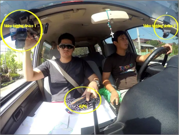
Video tagging activity
The team used the video tagging/capture device equipped with GPS installed in a vehicle that will roam around the floodplains to capture and tag the buildings, bridges, roads and water bodies. The features tagged in the field activity will serve as reference and accuracy guides for the GIS feature extraction.
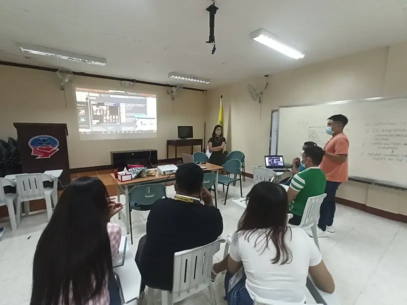
Monthly Project Meetings: